Earth Observation Satellite EOS-N1 (Anvesha)
Earth observation UPSC, EOS‑N1 Anvesha UPSC, India space capabilities, ISRO PSLV‑C62 mission, upsc current affairs
Content
- Latest News
- What is EOS-N1 (Anvesha)?
- Objectives and Purpose
- Technical Features of EOS-N1
- Applications and Use Cases
- Significance for India
- Global Context and Collaboration
- Failure of EOS-N1 (Anvesha) Mission
Latest News
The Indian Space Research Organisation (ISRO) successfully launched Earth Observation Satellite EOS-N1 (Anvesha) in late December 2025/January 2026 as part of its expanded series of remote sensing satellites. This satellite aims to enhance India’s Earth observation capability, support climate and environment monitoring, and strengthen applications in agriculture, forestry, water resources, and disaster management.
What is EOS-N1 (Anvesha)?
- EOS-N1, also named Anvesha, is an advanced Earth Observation Satellite developed by ISRO.
- It is part of India’s Earth Observation Satellite (EOS) series, designed to provide high-resolution imagery of the Earth’s surface for a range of societal and scientific applications.
- “Anvesha” means exploration/research in Sanskrit, reflecting the satellite’s mission to observe and analyse dynamic Earth systems.
Objectives and Purpose
- Enhanced Earth Observation: Anvesha is built to deliver improved spatial and spectral data compared to earlier EOS models, enabling finer monitoring of land use, vegetation, water bodies, and urban change.
- Climate and Environmental Monitoring: The satellite enhances India’s capacity to track environmental changes due to climate variability, glacial melt, desertification, and coastal erosion.
- Agricultural Support: High-resolution data from Anvesha can assist crop forecasting, drought assessment, and precision farming techniques.
- Disaster Management: The satellite improves real-time monitoring of natural disasters such as floods, cyclones, landslides, and forest fires, aiding timely response and relief operations.
- Water Resource Management: The imagery supports mapping of river basins, reservoirs, wetlands, and groundwater potential areas.
Technical Features of EOS-N1
- High-Resolution Optical Imager: Provides multi-spectral imaging across visible and infrared bands, enabling detailed surface observations.
- Advanced Payloads: Equipped with state-of-the-art sensors that improve spatial resolution and revisit capability (frequency of imaging).
- Data Relay and Downlink: Enhanced communication systems to transmit large volumes of data rapidly to ground stations.
- Orbit: Typically placed in a Sun-synchronous orbit (SSO), which ensures consistent lighting conditions for Earth imaging.
Applications and Use Cases
Agriculture and Food Security
- Helps in mapping crop health, planting patterns, and yield estimation.
- Supports policy decisions for food procurement and distribution.
Natural Resource Management
- Tracks changes in forests, grasslands, and mineral-rich regions.
- Supports sustainable management by offering updated land cover maps.
Urban Planning
- Provides detailed imagery to monitor urban sprawl, land use transitions, and infrastructure development.
Water & Coastal Monitoring
- Assists in assessing reservoir storage, river morphology, and coastal erosion.
- Beneficial for managing water projects and planning coastal resilience.
Disaster Response
- Rapid imagery in the aftermath of floods, cyclones or earthquakes enables better emergency response planning.
Significance for India
- Strategic Independence: Enhances India’s self-reliance in high-resolution Earth observation data, reducing dependence on foreign satellite imagery.
- Global Collaboration: Positioning India as a reliable partner for satellite data in international climate and disaster response frameworks.
- Research and Innovation: Boosts scientific research in Earth system science, climate modelling, and geospatial technologies.
- Economic Impacts: Supports sectors such as agriculture, urban development, environment management, and infrastructure planning.
Global Context and Collaboration
- International Programmes: Data from Anvesha can be shared with platforms like the Committee on Earth Observation Satellites (CEOS) and the Group on Earth Observations (GEO), aiding global climate data pools.
- Partnerships with Space Agencies: Potential collaboration with NASA, ESA, JAXA and other agencies for inter-calibration of sensors, data fusion and joint research.
Failure of EOS-N1 (Anvesha) Mission
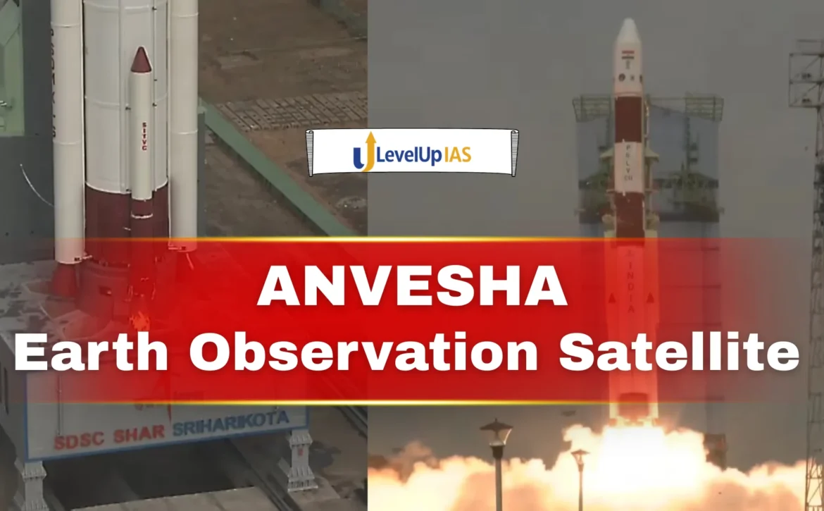
- EOS-N1 (Anvesha) was launched by ISRO on 12 January 2026 aboard PSLV-C62 from Sriharikota to strengthen India’s Earth observation and strategic surveillance capabilities.
- During the third stage of the flight, an anomaly was detected, causing deviation from the intended trajectory.
- As a result, the rocket failed to place the satellite into its Sun-synchronous orbit, leading to the loss of EOS-N1 and all co-passenger satellites.
- This marked the second consecutive failure of PSLV after the May 2025 EOS-09 mission, raising concerns about third-stage reliability.
- ISRO has initiated a technical investigation to identify the cause and prevent future mission failures.