Mount Semeru, A Volcanic Mountain
Content
- Why in News?
- Introduction
- Geographical and Tectonic Setting
- Physical Characteristics
- Nature of Volcanic Activity
- Significance
- Hazards and Risks
- Conclusion
Why in News?
Recently, Mount Semeru, one of Indonesia’s most active volcanoes, erupted multiple times, sending thick ash columns up to 1,100 metres above its summit. The renewed activity highlights the dynamic volcanic processes along the Pacific “Ring of Fire” and raises concerns regarding local populations and aviation safety.
Introduction
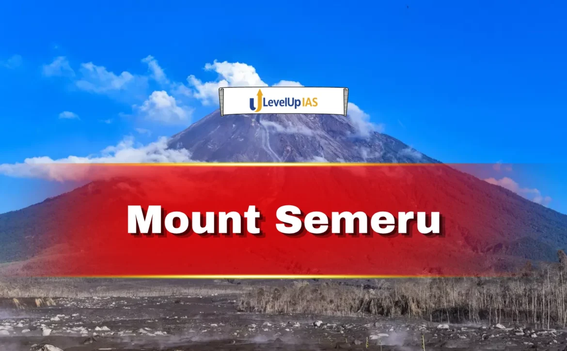
Mount Semeru, also known as Mahameru, is an active stratovolcano located in East Java. It is the highest peak on Java Island, rising to an elevation of 3,676 metres (12,060 feet). The volcano is renowned for its persistent eruptive activity, making it one of the most closely monitored volcanoes in Indonesia.
Its frequent eruptions, characterised by ash plumes and explosive bursts, provide an important case study for understanding volcanic hazards and tectonic processes in subduction zones.
Geographical and Tectonic Setting
Mount Semeru is situated within a highly active tectonic region formed due to the interaction of lithospheric plates. It lies along a subduction zone, where the Indo-Australian Plate is being forced beneath the Eurasian Plate.
This process leads to the melting of subducted material, generating magma that rises to the surface and results in volcanic activity. The volcano forms part of the broader Pacific Ring of Fire, a region known for intense seismic and volcanic activity encircling the Pacific Ocean.
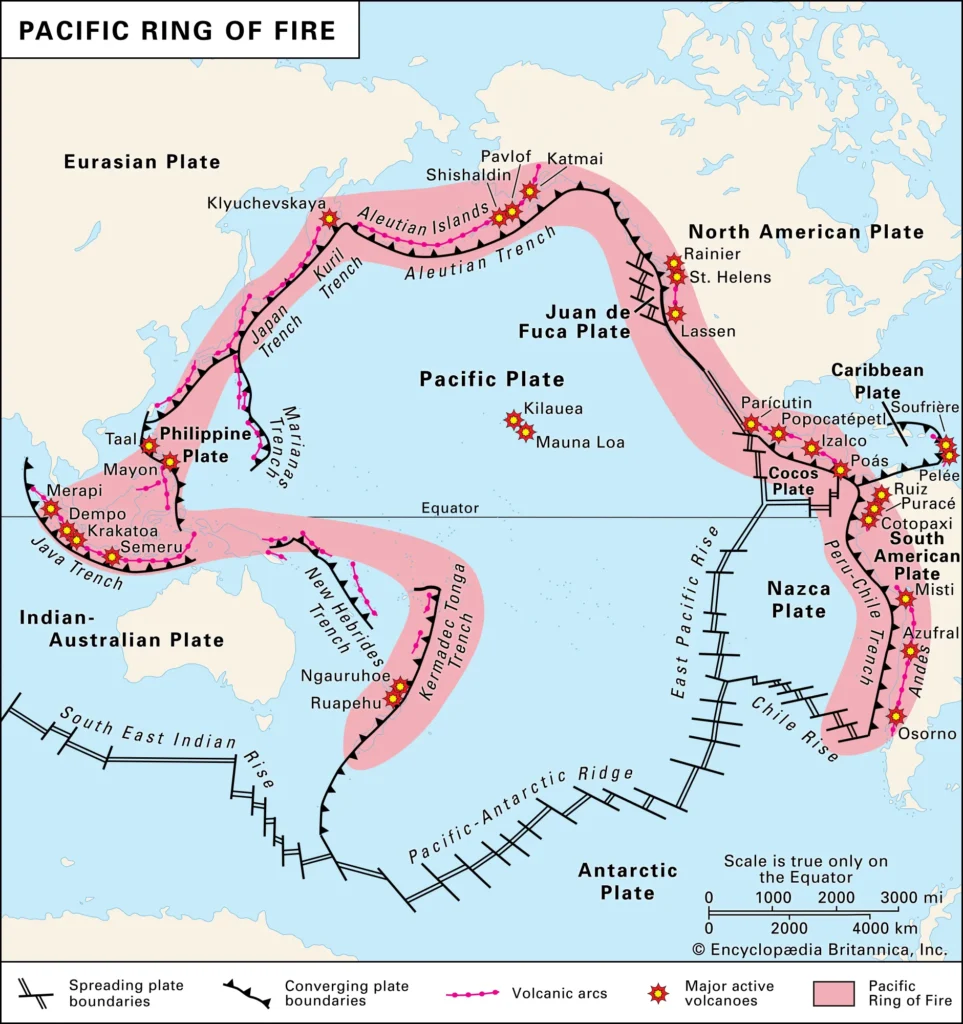
Semeru is located at the southern end of a volcanic chain extending toward the Tengger caldera, forming a prominent volcanic massif in East Java.
Physical Characteristics
- Mount Semeru is a classic stratovolcano, characterised by steep slopes and a conical shape formed by successive layers of lava, ash, and volcanic debris.
- The summit topography of the volcano is complex and dynamic, with craters shifting over time from the northwest to southeast direction. This reflects continuous geological changes caused by repeated eruptions and magma movement beneath the surface.
- The volcano’s height and structure make it a dominant geographical feature in the region, influencing local climate patterns, river systems, and ecological distribution.
Nature of Volcanic Activity
- Mount Semeru is one of the most active volcanoes in Indonesia and has exhibited frequent eruptions over the past two centuries. Its activity is typically characterised by regular ash explosions, which occur at intervals of 10 to 30 minutes.
- These eruptions involve the emission of ash, volcanic gases, and pyroclastic material. The recent eruptions, sending ash columns over 1,100 metres high, demonstrate the volcano’s persistent activity.
- Unlike highly explosive volcanoes that erupt after long dormant periods, Semeru exhibits continuous low to moderate intensity eruptions, making it a “persistently active” volcano. This type of activity poses sustained risks to nearby settlements and infrastructure.
Significance of Mount Semeru
- Mount Semeru holds geographical, ecological, and socio-economic significance. From a scientific perspective, it provides valuable insights into volcanic behaviour in subduction zones.
- Ecologically, volcanic soils in the region are rich in minerals, supporting dense vegetation and agriculture. However, the benefits are accompanied by risks such as lava flows, ash fall, and pyroclastic density currents.
- The volcano also has cultural importance in Indonesian traditions, where it is considered sacred and associated with local myths and beliefs.
Hazards and Risks
The frequent eruptions of Mount Semeru pose several hazards. Ash plumes can disrupt air travel and reduce air quality, affecting human health. Pyroclastic flows and lava can cause destruction of settlements, agricultural land, and infrastructure.
Volcanic ash deposition can contaminate water sources and damage crops, impacting livelihoods. Additionally, heavy rainfall combined with volcanic debris can trigger lahars (volcanic mudflows), which are highly destructive.
Given the high population density in parts of Java, effective disaster management and early warning systems are essential to minimise loss of life and property.
Conclusion
Mount Semeru exemplifies the dynamic nature of Earth’s interior processes and the ongoing interaction of tectonic plates. Its recent eruptions underline the importance of continuous monitoring and preparedness in volcanic regions.
Visit LevelUp IAS- Click Here